Sesame: Spatial OData on Maps, Service Operations, HTTP Basic Authentication
Sesame Data Browser has just been updated to offer the following features for OData feeds:
- Maps
- Improved Service operations (FunctionImport) support
- HTTP Basic Authentication support
- Microsoft Dallas support
Maps
Sesame now automatically displays items on a map if spatial information is available in data.
This works when latitude and longitude pairs are provided.
Here is for example a map of drinking fountains in Vancouver:
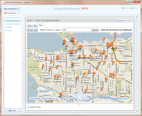
This comes from DrinkingFountains in http://vancouverdataservice.cloudapp.net/v1/vancouver, which provides latitude/longitude for each fountain.
Here is another example, without latitude/longitude this time:
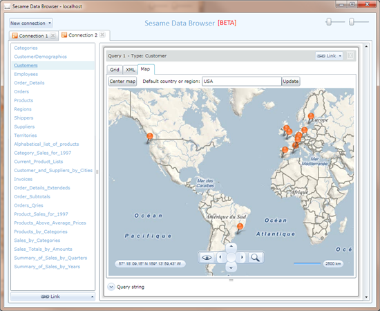
This is a map of the customers from the Northwind database, which are located based on their country, postal code, city, and street address.
Service operations (FunctionImport)
Support for service operations (aka FunctionImports) has been improved. Until now, only functions without parameters were supported.
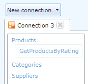
It's now possible to use service operations that take input parameters. Let's take as an example the GetProductsByRating function from http://services.odata.org/OData/OData.svc.
This function is attached to Products, as you can see below:
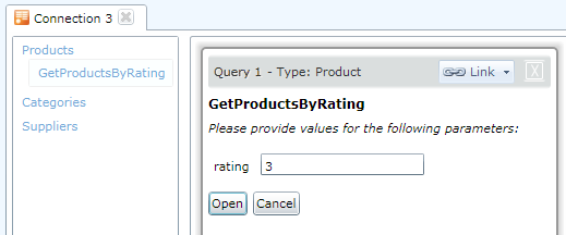
A "rating" parameter is expected in order to open the function:
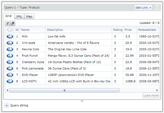
After clicking Open, you'll get data as usual:
HTTP Basic Authentication
New authentication options have been added: HTTP Basic and Dallas (more on the latter in the next post).
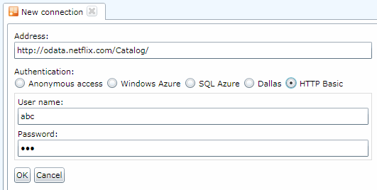
HTTP Basic authentication just requires a user name and a password, and is simple to implement.
Microsoft Dallas support
All of the above features enabled support for Microsoft Dallas. See this other post about Dallas support in Sesame.Please give Sesame Data Browser a try. As always, your feedback and suggestions are
welcome!
